Downscaling simulation of CMIP3 global data by RSM
Global dataset
- MIROC high-res (T106) Data (20c and a1b)
- 23L-6hourly U, V, T, q, sp
- daily SST
- monthly sea ice
- topography
Domain and Resolution
- Western North America, 10km-28L (same as CaRD10v2)
Updates from CaRD10v2
- SSBC will be modified
- Incremental Interpolation Scheme (IIS) might be used in case of less vertical levels and/or less temporal intervals in the global dataset.
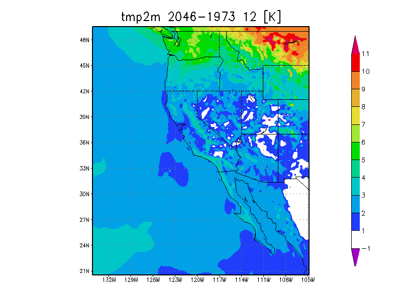
Preliminary Results
Discussions